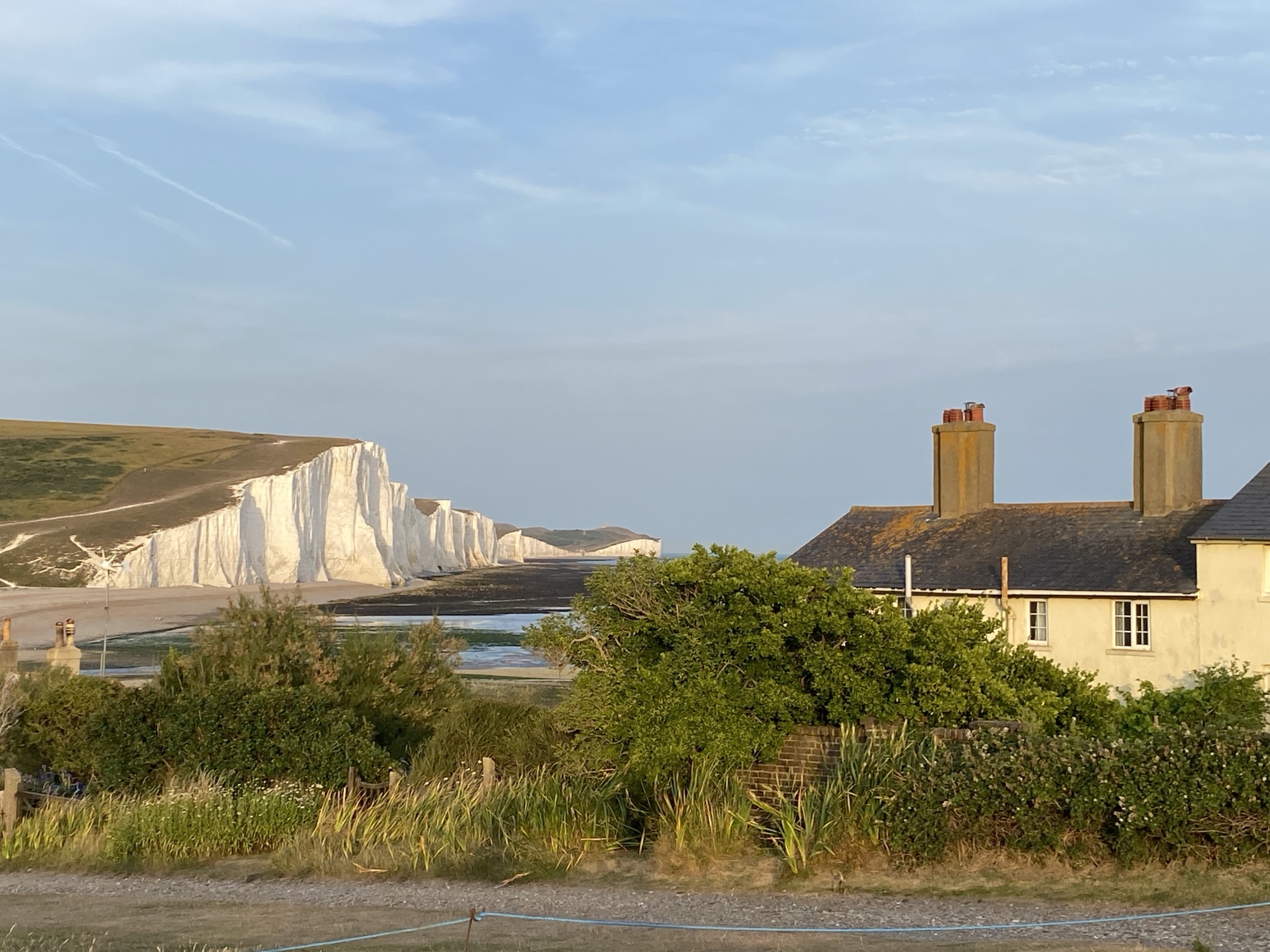
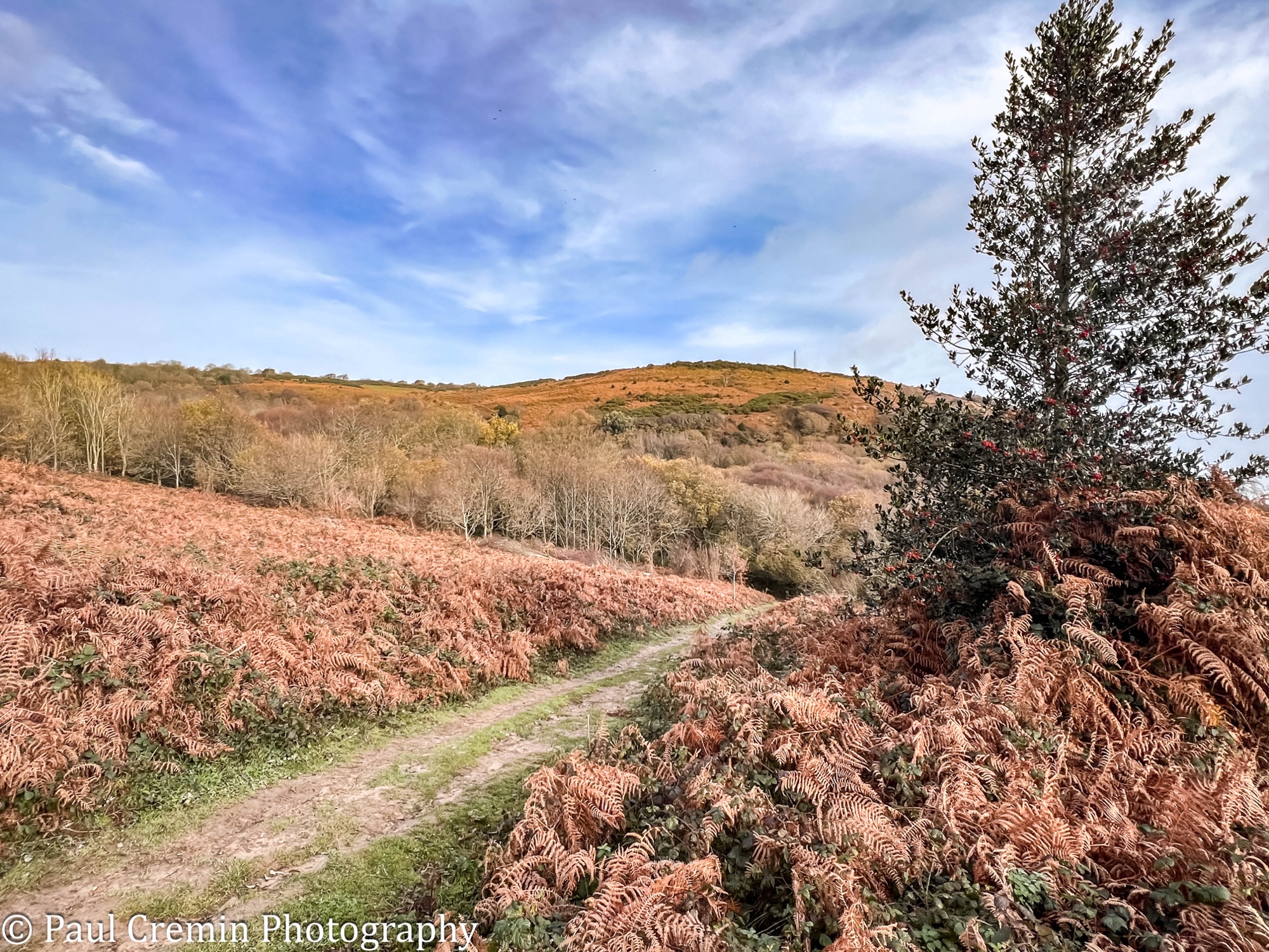
The route from Hastings Pier to Fairlight following the the King Charles III Coastal Path is a moderate to strenuous walk of approximately 7 miles (11 km). It transitions from flat Victorian promenades to rugged, hilly terrain within Hastings Country Park, featuring steep ascents through ancient wooded glens
There is a great information board that sets the route of this leg.

1. Hastings Pier to the Old Town (The Urban Start)
Starting at Hastings Pier, walk east along the wide, flat promenade. You will pass through the modern town before entering the Old Town located between East Hill and West Hill


George Street: A charming pedestrianized street filled with independent shops, traditional pubs, and cafes.

The Stade: Known as the “landing place,” this is home to Europe’s largest beach-launched fishing fleet. It is a “living museum” where boats are still winched onto the shingle.

Net Shops: You will see approximately 50 unique, tall black wooden sheds. Built in 1835 on small beach plots, they were designed to grow vertically (some up to three stories) to store natural fiber nets that would otherwise rot.


Museums: Near the Stade, you can visit the Fisherman’s Museum and the Shipwreck Museum to explore the town’s deep maritime history.


Take a moment to wander onto the shingle beach to take a look at the Strade Fishing Fleet, Europe’s largest beach-launched fishing fleet, operating for over 1,000 years. The fleet comprises over 25 vessels under 10 meters, which are winched onto the shore. This historic, artisanal, and sustainable fishery is renowned for its traditional methods and, alongside the iconic “net shops,” is a key part of the area’s heritage


2. Ascending East Hill
To reach the coastal path’s cliff-top section, you must leave the Old Town and head toward Rock-a-Nore Road.
East Hill Cliff Railway: For an easier ascent, take the UK’s steepest funicular railway (opened 1902). It transports you 81 meters to the top in about 50 seconds.

The Stairs: Alternatively, climb the steep zigzagging steps near the cliff lift entrance for immediate panoramic views of the Old Town and the English Channel.

3. Hastings Country Park to Fairlight Glen
The path enters the 853-acre Hastings Country Park Nature Reserve, where the terrain becomes significantly more challenging. The terrain becomes hilly with clay paths that can be extremely muddy after rain; sturdy footwear is essential. Unfortunately on this occasion I did not have the right footwear and spent most of the rest of the walk slipping and sliding across the cliff-top.
Upon reaching the top of the East Hill Funicular (the steepest in Britain), turn right away from the town, walking across the open grassland. This area provides panoramic views of the Old Town, West Hill, and the Channel.
Standing prominently on top of East Hill is the East Hill Beacon. The current structure is a replica erected in 1988 to commemorate the 400th anniversary of the Spanish Armada. The original was part of an Elizabethan early warning system established around 1588 to alert the country to potential invasions.
The cliff-top plateau is defined by several significant ancient features. The entire East Hill plateau once served as a “cliff castle” or promontory fort. Its most visible feature is the
Cross Dyke, a massive earthen bank about 30 metres wide and 4 metres high that cuts off the eastern approach near Rocklands. Excavations in 2003 found worked flints and “sling stones” (beach pebbles) associated with the fort’s occupation.
St George’s Churchyard: About 175 metres west of the fort rampart is a rectangular raised enclosure known as “St George’s Churchyard”. While long rumoured to be a medieval chapel site, there is no evidence of a church ever existing there. Some archaeologists suggest it may have been a Roman signal station, supported by the discovery of 30 Roman brass coins found in a vase there in 1840.
The King Charles III Coastal Path follows the Saxon Shore Way, heading east along the cliff top. You will follow clear, well-trodden paths that run near the edge, often through gorse and heather.


Ecclesbourne Glen: The path descends into the first of three major valleys. Follow the signs down into Ecclesbourne Glen and back up the other side. Note that while the main path is open, some side paths to the beach may be restricted due to historical landslips.


Fairlight Glen: Continue along the cliff-top path to Fairlight Glen, a lush wooded area.

Note: A steep, unmaintained path leads down to Fairlight Glen Beach (a “clothes optional” beach), but the main England Coast Path stays on the clifftop to avoid erosion.
4. Fairlight Glen to the Firehills
Warren Glen: After Fairlight Glen, the route dips into Warren Glen before rising toward the Firehills, so named for the brilliant yellow gorse that blooms there.


Fairlight Village: As you approach Fairlight, the path briefly turns inland onto village roads to avoid areas of severe cliff erosion.
The Fireheights: Reach the “Fireheights” beacon near the Coastguard cottages and the Bale House Visitor Centre, which serves as a common end point or turning-around spot for this stretch.


By the time I had reached the ‘Fireheights’ I had realised I was quite hungry, so followed the path across the grassland and down into Fairlight Village.


I ended this leg of my trip around the coast at the ‘Cove’ public house, where I grabbed a coffee and light lunch before heading home.

Leave a Reply