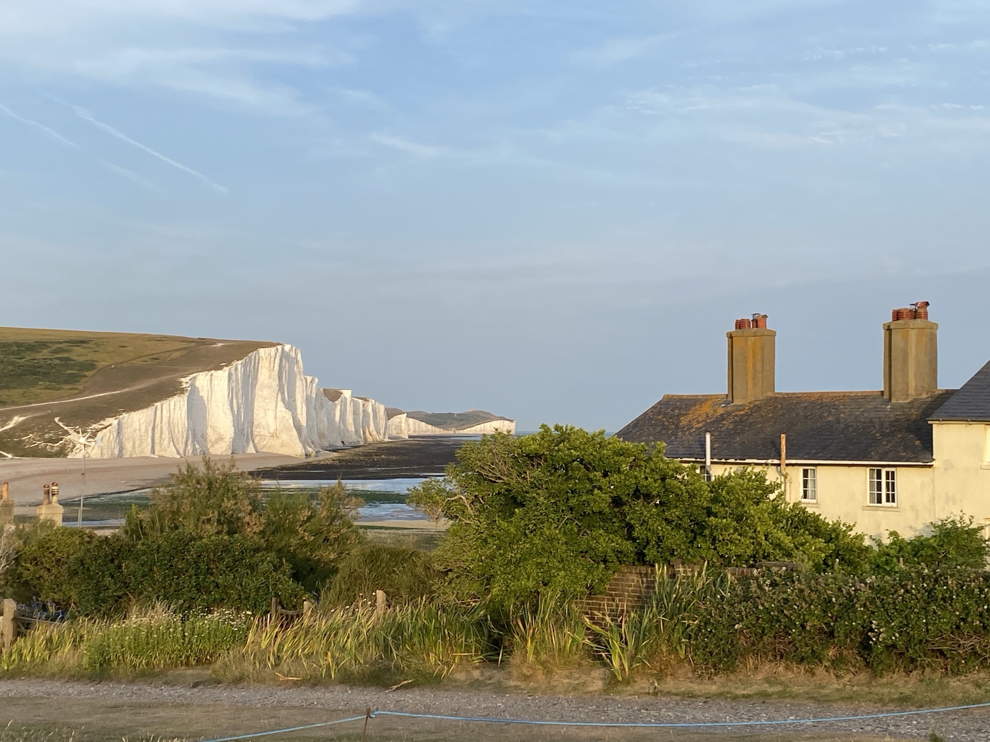

In an effort to get myself a little fitter as I near the ripe old age of 60, I thought I would embark on a grand tour of UK by undertaking to walk the newly created King Charles III Coastal path.
Just to manage expectations, I suspect this will take several years to complete and will be completed in manageable chunks to be fitted in with my work schedule and all the other things that currently occupy my time.
Living in East Sussex, the obvious starting point for this great endeavour is Eastbourne, a relatively short distance from where I live.
This detailed guide covers the roughly 4-mile (6.5 km) walk from Eastbourne’s ‘The Beach Deck to Pevensey Bay, tracing a path rich in Napoleonic history, modern engineering, and natural beauty.
1. The Starting Point: The Beach Deck to Langney Point
On 23 August 2025 I set of to complete the first stage between Eastbourne and Pevensey. Starting at from the Redoubt Car Park head east along the Eastbourne Promenade past a popular local cafe, The Beach Deck: Situated on the beach, this is an ideal spot for a pre-walk coffee. To your left (landward) is Treasure Island, a pirate-themed adventure park.
As you walk along the promenade you come across some brightly coloured beach huts, a reminder of time when visits to the seaside were more popular.

There is useful signage along the promenade to help you get your bearings and provide you with useful local information.

As you make progress along the promenade you will pass Fishermen’s Green: A small, active working area where local boats are hauled onto the beach. You’ll see traditional black-tarred huts used for storing nets. As you continue you will reach Sovereign Park, a local wildlife site of partly fossilised storm beaches made up of shingle formed over several centuries. Amongst the plants adapted to live in this harsh environment are Sea Kale, Yellow Horned Poppy, Wild Carrot, Vipers Bugloss and Sea Campion, which attracts moths and spiders found in few other places.

An information marker indicates you have reached Harbour Reach, a popular area for anglers where you will see many fisherman bringing in their daily catch.

As you pass the The next landmark Eastbourne Wastewater Treatment Works, which was constructed in 1997, note how the it was designed to look like a Napoleonic Fort to be in keeping with other structures along the coast.


The following notice describes what the treatment works do and lots of other fun facts

At the entrance to Sovereign Harbour Marina you will discover one of Eastbourne’s Martello Towers (No 66) built as a part of the coastal defence in the early 19th Century.
Located just north of the harbor entrance, this is one of the best-preserved towers in the area. It still features an original 24-pounder gun barrel on its roof, along with a concrete gun emplacement added during World War II for coastal defense.


You have reached Langley Point, a key geographical feature where the shingle beach and residential properties meet the entrance of the channel to one of the largest composite marina’s in Northern Europe.


2. Sovereign Harbour: The “Engine Room” of the Route
As you make your way into Sovereign Harbour take a moment to observe the twin 50m locks for boats entering the harbour, which are in operation 24 hours a day.
The harbour comprises five different areas that together provide over 800 births and make up the UK’s largest composite marina.
A short distance away you will discover the Waterfront where you will find bars, restaurants and cafe’s which overlook the waters edge with a relaxed ambiance plus shopping.
Wildlife Spotting: The harbour locks are a favorite haunt for common seals, which are frequently seen resting on the pontoons or bobbing in the water near the lock gates.


As you make your way along the coastal path, through the marina, you will come across a small information board about the SS Barnhill.
3. SS Barnhill Shipwreck
“On the night of 20 March 1940 the German Air Force (Luftwaffe) carried out its first attack of World War II on a merchant ship in the English Channel, the SS Barnhill. She was on her way to London from Halifax with a mixture of cheeses, tissue paper, cardboard, typewriters, waders, carbide zinc, copper and large quantities of canned food.
SS Barnhill was 3 miles south of Beachy Head when a bomb struck and penetrated her deck plating before exploding in the hold. A raging fire quickly ensued, killing 4 of her 34 crew members and injuring many others. Before long, the engines ground to a halt and this 5,439 ton vessel began to list.
The steamships distress signals were answered by a Dutch vessel, the SS Southport, which succeeded in rescuing 18 men. The Eastbourne lifeboat Jane Holland launched shortly after, her volunteer crew returned a further 10 men safely to shore.
Meanwhile a salvage tug, the Foremost, arrived to assist the blazing vessel. Her crew were astonished to suddenly hear the ship’s bell ringing. Amid the flames shooting to the height of a double-decker bus, they spotty a man lying on the deck. It was the Master of the ship, too injured to move, he was pulling the bell’s cord with his teeth.
By now the lifeboat was on its way back to the SS Barnhill. Volunteer crew returned members Alec Hugget and Thomas Allchorn were each awarded the RNLI Bronze Medal for their bravery, whilst Coxswain Michael Hardy received a framed Letter of Appreciation.
Successfully evacuated, the SS Barnhill was beached 275m from Langley Point where she eventually broke into two, spilling the remainder of her cargo, much of which provided local residents with a welcome supplement to their wartime rations.
At low water you can easily see the boilers off the SS Barnhill, directly ahead of the information board below.

3. The Defensive Chain: Martello Towers
As you come leave the harbour on the opposite side of the channel your journey will take you past a series modern residential beach flats (landslide) and Martello Tower (No 64) on you right.
Unlike its neighbor, this one shows significant signs of WWII modification, including “gun loops” cut into the brickwork for machine guns.

The route follows the paved footpath along the shoreline with the extensive shingle beach on your right until you reach Bay View Park Caravan. At this point the path goes along the Old Martello Road behind a number of beachfront properties until you reach the Pevensey Bay Sailing Club, about a mile to the east of Eastbourne’s Sovereign Harbour.
4. Arrival: Pevensey Bay Shingle Front
The Pevensey Bay Sailing Club is run by its members and offers general sailing, training at all levels and regular club racing.

The final stretch of the England Coast Path into Pevensey Bay transitions from a paved walkway to a shingle beachWalking along the shingle beach is much harder that previous paved footpaths, it really takes a toll on your stamina.
Take a moment to think about where you are. You are now walking on the historic ground where William the Conqueror landed his invasion fleet in September 1066.

At Pevensey Bay you will pass another Martello Tower (No 62) nestled in amongst several holiday homes.


Martello Tower (No 61) is set back amongst some fairly unattractive high rise accommodation, clearly a throwback from the 1970s!

Nearing the end of this first leg, you will reach an attractive beachfront property overlooking Pevensey Bay, on Beaching Road. This is the perfect point to head of an explore Pevensey Village.

Head along Leyland Road, past Martello Tower (No 60).

The first part of my journey along the King Charles III ended at the Castle Inn, a 16th century building on the Eastbourne Road (A259) in Pevensey.

Practical Information
- Lock Status: Before reaching Sovereign Harbour, check for any 2026 maintenance notices on the Premier Marinas website, as lock walkways occasionally close for essential repairs.
- Walking Surface: Most of the route is flat and paved until you reach the northern end of Sovereign Harbour, where it becomes primarily shingle.
- Tides: At exceptionally high tides, the shingle path at Pevensey Bay can become narrow; it is safer to walk during mid-to-low tide.
Leave a Reply