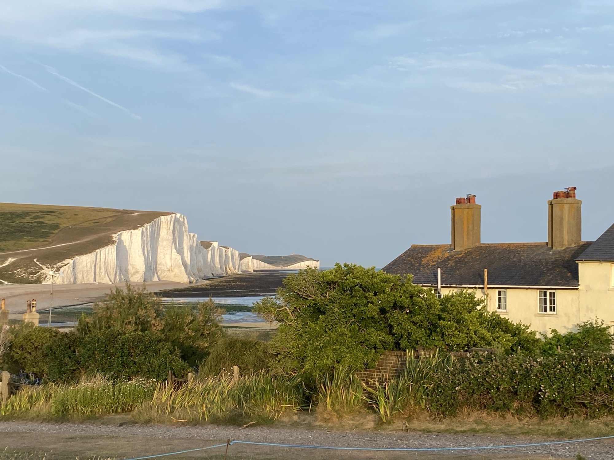
The walk along the King Charles III England Coast Path from the Marina Cafe on Camber Sands to the Pilot Inn in Lydd-on-Sea, incorporating the full headland loop around Dungeness and its nuclear power stations, covers approximately 13 to 14 miles (21–22.5 km).
Because the direct coastline between Jury’s Gap and Dungeness is occupied by the active Lydd Military Firing Ranges, the route safely heads inland across Romney Marsh to the town of Lydd before striking out onto the open shingle desert of the Dungeness peninsula.
10 January 2026
1: Marina Cafe onto the Shingle and Beach Foreshore
From the Marina Cafe at the western threshold of Camber Sands, you step straight onto the seaward face of the dunes and the beach foreshore rather than heading behind to the road.
At the start, you walk across the upper strandline where the massive golden sands of Camber meet ridges of flint shingle and loose shells deposited by high tides. The seaward slope of the dunes is stabilized by marram grass (Ammophila arenaria), whose fibrous root networks keep the shifting sand ridges intact. As you walk eastwards, the open sand gradually gives way to deeper, coarser banks of flint shingle piled high by prevailing south-westerly longshore drift. The intertidal flats below attract curlews, oystercatchers, and sanderlings feeding at low water.

2: Past the Beachfront Properties (The Suttons and Duneside)
Moving east along the upper crest of the beach and shingle strandline, you pass directly seaward of Camber’s most exclusive and expensive coastal properties, notably along the private frontage of The Suttons and the foreshore. These multi-million-pound properties are constructed right up against the dunes, designed specifically to capture uninterrupted views across Rye Bay.

You will see striking architect-designed residences featuring weather-treated Siberian larch cladding, floor-to-ceiling panoramic marine glazing, cantilevered decks, and curved steel supports engineered to withstand storm surges. Several of these properties have private timber boardwalks, sun decks, and galvanized steel staircases stepping directly down through the sea kale and dunes onto the shingle below. Because these homes sit directly on the exposed beach margin without inland barriers, many incorporate elevated stilts, deep-pile foundations, and ground-floor break-out walls designed to let coastal floodwaters flow through during extreme high tides.
3: The Concrete Sea Wall at Broomhill Sands
As you pass the easternmost cluster of houses, the sandy dunes taper down, and you step up onto the elevated concrete sea wall that protects Broomhill Sands.

This substantial reinforced concrete defense, heavily upgraded as part of a multi-million-pound coastal defense scheme, runs as a wide, flat pedestrian-friendly crest between the shingle beach and the open marshland behind it. On your seaward side, the wall is flanked by rock revetments composed of massive Norwegian granite boulders designed to absorb and break the energy of high-energy channel waves before they strike the concrete barrier.

Walking atop the broad, smooth concrete wall provides an elevated viewing platform. To your right lies the open water of the English Channel and the sweeping curve of Rye Bay. To your left, stretching away below the level of the sea wall, are the low-lying agricultural grazing marshes of Romney Marsh, highlighting how the wall holds back the sea from inundating the lowlands.
The promenade atop this modern sea wall provides a smooth, unyielding asphalt and concrete surface underfoot, a stark contrast to the shifting shingle below. The path sits roughly 4 to 5 meters above sea level, placing you directly in the teeth of the prevailing south-westerly winds that channel continuously down the straits. There is no shelter here; you are exposed to the raw coastal elements, where salt spray routinely whips over the crest during high tides. The walk follows a massive linear alignment, presenting an entirely flat, unbending perspective that emphasizes the sheer scale of this twentieth-century engineering feat designed to keep the North Sea at bay.

Looking out to the south and east, the view changes dramatically depending on the state of the tide. At high tide, the sea crashes directly against the colossal gray chunks of Norwegian granite rock armor, creating dramatic plumes of white spray. At low tide, the sea retreats hundreds of meters to reveal a vast, shimmering wilderness of wet sand and tidal mudflats known as Broomhill Sands. The open waters of Rye Bay sweep out toward the horizon, where the distant silhouettes of massive commercial container ships and cargo vessels can be seen navigating the southwest lane of the Dover Strait shipping lanes. On a clear day, looking far to the west, you can trace the low, flat shingle spit of Rye Harbour and the distant high cliffs of Fairlight and Hastings rising out of the sea.


Looking down and inland to the north, the contrast in geography is absolute. The ground drops away sharply from the landward toe of the wall into the completely flat, subterranean landscape of the Walland Marsh, a sub-region of the wider Romney Marsh network. This vast agricultural plain sits largely at or slightly below the level of a high spring tide, separated from disaster solely by the concrete wall you are standing on. The eye tracks across a geometric grid of deep drainage ditches and reedy channels, stretching toward distant historic farmsteads, rows of willow trees bent double by the wind, and scattered isolated groups of white Romney sheep. The lack of vertical features gives the land a massive, open sky landscape, punctuated only by the distant, low silhouette of the historic town of Rye sitting atop its isolated sandstone rock to the northwest.

Pockets of vegetated shingle thrive within the cracks, gravel ridges, and rock armor flanking the concrete wall. Hardy pioneer plants like yellow hornpoppy, sea campion, and dense cushions of sea kale establish roots deep below the shingle. Flocks of turnstones and pipits can be seen picking among the granite armor at the base of the wall.
4: The Kitesurfing Beach to Jury’s Gap
Continuing east along the concrete sea wall, you pass the Broomhill Sands activity area. Opposite the roadside car park, the beach here becomes an internationally renowned hub for kitesurfers and windsurfers. Because there are no steep cliffs or high dunes to disrupt the wind, the steady south-westerly breeze and shallow tidal shelf provide conditions where dozens of kites can be seen hovering above the water.
The concrete sea wall continues uninterrupted until reaching Jury’s Gap, the historic breach point in the shingle ridge marking the county boundary between East Sussex and Kent. Here, near the former Coastguard station site and World War II concrete defensive pillboxes, the sea wall ends and the route meets the perimeter fence of the Lydd Military Firing Ranges, preparing for the inland turn across the marsh toward Lydd and Dungeness.

5: Inland Across Romney Marsh to Lydd Town
At Jury’s Gap, the path turns sharply inland to the north-east, following an off-road asphalt pedestrian and cycle path running parallel to the B2075 Lydd Road. This diversion is mandatory to avoid the Lydd Ranges.
Running directly parallel to your right is the barbed wire and perimeter fence of the Lydd Military Firing Ranges. Established in the 1870s and used heavily during both World Wars for artillery and infantry preparation, this vast area remains an active live-firing training complex for the British Army. Red flags fly along the boundary whenever firing exercises occur.


Looking east across the secured military gravel beds, you can spot the distant, massive concrete curves of the Denge Sound Mirrors. Built between 1928 and 1930, these early acoustic detection structures were engineered to focus the sound of incoming enemy aircraft engines before the invention of radar made them obsolete.
Looking west from the path you will see Scotney Pit, a large inland lake, which is particularly important for wintering wading birds and waterfowl who forage in the mud for food. Birds including the Greylag Goose, Great Crested Grebe, Gadwall, Pochard and Mediterranean Gull have been found here in nationally important numbers, while Cormorants and Shovelers have been recorded in internationally important numbers.


Scotney Pit
You cross the heart of Romney Marsh, a wind-scoured, tree-barren plain crisscrossed by a network of wide, deep agricultural drainage channels known as sewers. These freshwater waterways support lush reedbeds of Phragmites australis, home to breeding reed warblers, marsh harriers, and the non-native marsh frog.


Romney Marsh
6: Historic Lydd Town Centre
The asphalt path leads straight into the southern entrance of Lydd, the westernmost settlement on the marsh.


The outskirts of Lydd
Entering the town, the skyline is dominated by the monumental 132-foot stone tower of All Saints Church. Dating back to the 13th century, with Saxon stonework surviving in its north-west corner, it is the longest parish church in Kent. Its towering height historically functioned as a navigation beacon for vessels in the English Channel and as a military lookout during wartime.

All Saints Church, dating back to the 13th Century
The route weaves through the historic town core, lined with 18th-century weatherboarded cottages and Georgian brick facades. Lydd was an ancient corporate limb of the Cinque Port of New Romney, bound by royal charter to provide ships and mariners for the crown in return for tax exemptions and trading monopolies.


Lydd Town Centre
7: The Dungeness Road and RSPB Lakes
Leaving the eastern side of Lydd along the Dungeness Road, the route ventures onto the neck of the Dungeness shingle peninsula. On the left, Lydd Airport can be seen in the distance. It began as Lydd Ferryfield in 1954, established for cross-Channel air-ferry services, and is now a small regional airport serving general aviation, flying schools and occasional charter or specialist operations.

Dengemarsh Sewer with Lydd Airport in the distance
A large water tower is also a conspicuous landmark across the exceptionally flat Romney Marsh; it forms part of the area’s historic water-supply infrastructure, although its precise construction date and current function are not assumed here.

Looking across Romney Marsh towards the Water Tower
Nearby, a small enclosure contains what appear to be Shetland ponies, or perhaps a similar hardy native pony breed; the exact breed is not confirmed on site.


Shetland Ponies
The road passes Boulderwall Farm, a traditional marsh farmstead that now serves as the administrative entrance to RSPB Dungeness. The reserve is surrounded by an extensive network of flooded gravel pits created by 20th-century aggregate quarrying.


RSPB Dungeness – Flooded Gravel Pits
These large, deep water bodies host thousands of migratory wildfowl, including smew, goldeneye, and tufted ducks.

The fertile marsh soil gives way to the open shingle plains of Dungeness. This is one of the largest expanses of shingle in the world and Britain’s only designated desert.


The soil-less flint gravel supports highly specialised flora with extensive taproots, such as viper’s bugloss, yellow hornpoppy, sea kale, and rare lichen cushions that cannot tolerate disturbance.


RSPB Dungeness Nature Reserve
8: The Extended Loop Around Dungeness Power Station and Headland
Instead of turning directly north toward Lydd-on-Sea, the path continues south along the Dungeness estate road all the way to the tip of the headland, circling the nuclear complex.

Dungeness Headland – the eastern edge of the Lydd Military Ranges
The trail takes you directly past the colossal concrete reactor halls of the power station.


Dungeness Nuclear Power Station
Dungeness A: A Magnox station commissioned in 1965 and shut down in 2006, currently undergoing long-term decommissioning.
Dungeness B: The UK’s first commercial Advanced Gas-cooled Reactor (AGR), which began generating power in 1983 and was permanently closed for defuelling in 2021.

Colossal concrete reactor halls of Dungeness A and B
The Coastal Defenses and Cooling System: You walk along the enormous aggregate shingle embankments that are constantly maintained by heavy machinery to protect the reactors from coastal erosion. The huge underwater sea intake and outfall channels once created a thermal upwelling in the sea known as “The Patch,” which drew vast feeding flocks of terns, gulls, and sea fish.


Shingle embankments protecting the reactors from coastal erosion
Just east of the power station site stand two lighthouses:
The Old Lighthouse: A 1904 circular black-and-white brick tower engineered by Thomas Matthews, which survived two World Wars before being decommissioned when the towering power station obscured its light.


The Old Lighthouse
The New Dungeness Lighthouse: A slender, modern black-and-white ribbed concrete tower constructed in 1961, operating automatically to sweep its beam across the shipping lanes of the Dover Strait.


The New Lighthouse
Tracing the gravel tracks north along the headland’s eastern edge, you pass Prospect Cottage, the famous pitch-tarred timber home of artist, filmmaker, and activist Derek Jarman. The cottage is renowned for its driftwood and shingle sculpture garden, where sea kale, santolina, and poppies grow directly out of the gravel without soil or boundary fences.
The route follows the open eastern beach over loose flint pebbles. The walking is physically demanding as your feet sink into the gravel ridges. To your right, the English Channel is dotted with container ships navigating the Dover Strait, while local beach-launched fishing boats and winches sit hauled up high above the waterline.
9: Arrival at Lydd-on-Sea and The Pilot Inn
Heading north along the shoreline of Dungeness Road and Battery Road, you leave the open wilderness behind and reach the residential edge of Lydd-on-Sea.

Positioned on the exposed shingle banks near the tip of the headland stands the historic Dungeness RNLI Lifeboat Station. Established in 1826, this vital rescue facility has been operating for two centuries, protecting one of the busiest and most treacherous shipping corridors in the world. Walkers will observe the large, modern boathouse built to launch the station’s Shannon-class all-weather lifeboat. Because Dungeness has no natural harbor or deep-water quay, the station utilizes a specialized, heavy-duty tracked launching tractor to propel the vessel directly into the breaking surf of the English Channel and pull it back up the steep shingle banks upon its return. The station has a long history of gallantry, with its volunteer crews continually risking their lives in severe Channel gales.

RNLI Dungeness
Just behind the road running parallel to the beach, you cross near the tracks of this famous 15-inch minimum-gauge passenger steam railway, built in 1927 to connect Dungeness with Hythe.
Positioned prominently on the corner of Battery Road, the Pilot Inn marks the end of this journey. The inn’s origins date to the early 19th century, with parts of the pub built using timbers salvaged from the cargo ship Albertha, which was wrecked on the offshore shingle banks in 1890.

It serves as a welcome resting post offering fresh seafood, cold ales, and shelter from the biting channel winds, with clear views back across the wild shingle spit you just crossed.
In the garden there are some great historical relics from the local area:


Wright Cyclone Engine and Propeller from B-17 Flying Fortress

1810 Anchor
